Precision vs. Accuracy in Land Surveying: Aiming for the Bullseye
In the world of land surveying, precision and accuracy are two fundamental concepts that are often misunderstood and misused interchangeably. However, they represent very different attributes of measurement and are both critical to the success of surveying projects. Understanding the distinction between these terms is essential for surveyors, as it affects the quality and reliability of their work.
Accuracy: Hitting the Mark
Accuracy in land surveying refers to the closeness of a measurement to its true value. If we imagine a target with a bullseye, accuracy would mean hitting the bullseye—the closer the bullet hits to the center, the more accurate it is. In surveying, this translates to how close the measured position of a point on the ground is to its actual geographic location.
For example, when determining the boundary of a property, an accurate measurement ensures that the legal description matches the physical reality. This is crucial in avoiding disputes and ensuring that construction projects are built within their designated boundaries.
Precision: Consistency is Key
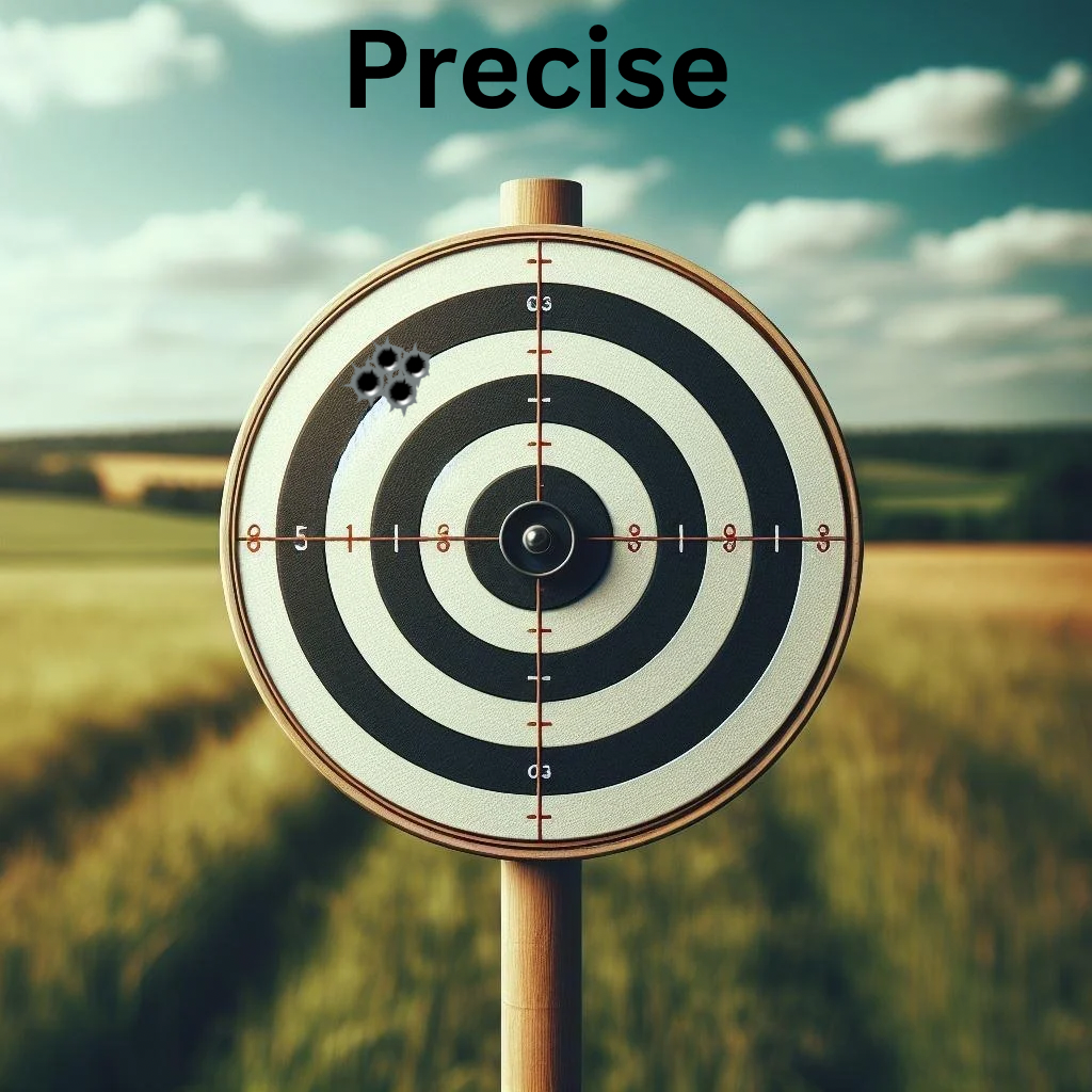
Precision, on the other hand, is about the repeatability of measurements. Using the same target analogy, if a group of shots are clustered tightly together but not near the bullseye, the shots are precise but not accurate. In surveying, precision means that repeated measurements will yield results that are very close to one another, even if they are not close to the true value.
A surveyor might use a total station to measure the distance between two points multiple times. If the results are consistently within a few millimeters of each other, the measurements are precise. However, if the instrument is not properly calibrated, those precise measurements may not be accurate.
Balancing Precision and Accuracy
The goal in land surveying is to achieve both high precision and high accuracy. However, various factors can affect these attributes, including instrument calibration, environmental conditions, and human error. Surveyors must be diligent in their methods to minimize errors and ensure both precision and accuracy in their measurements.
Bullets and Surveying: A Visual Analogy
To visualize the difference between precision and accuracy, let's consider two scenarios involving arrows and a target:
1. Shots Close Together but Not Near the Center (Precision without Accuracy):
Imagine a cluster of shots tightly grouped in the top left corner of the target. This represents precision, as the shots are close to each other, indicating consistency. However, since they are not near the bullseye, they lack accuracy. In surveying, this could occur if an instrument consistently measures a slight angle off the true direction, leading to a systematic error.
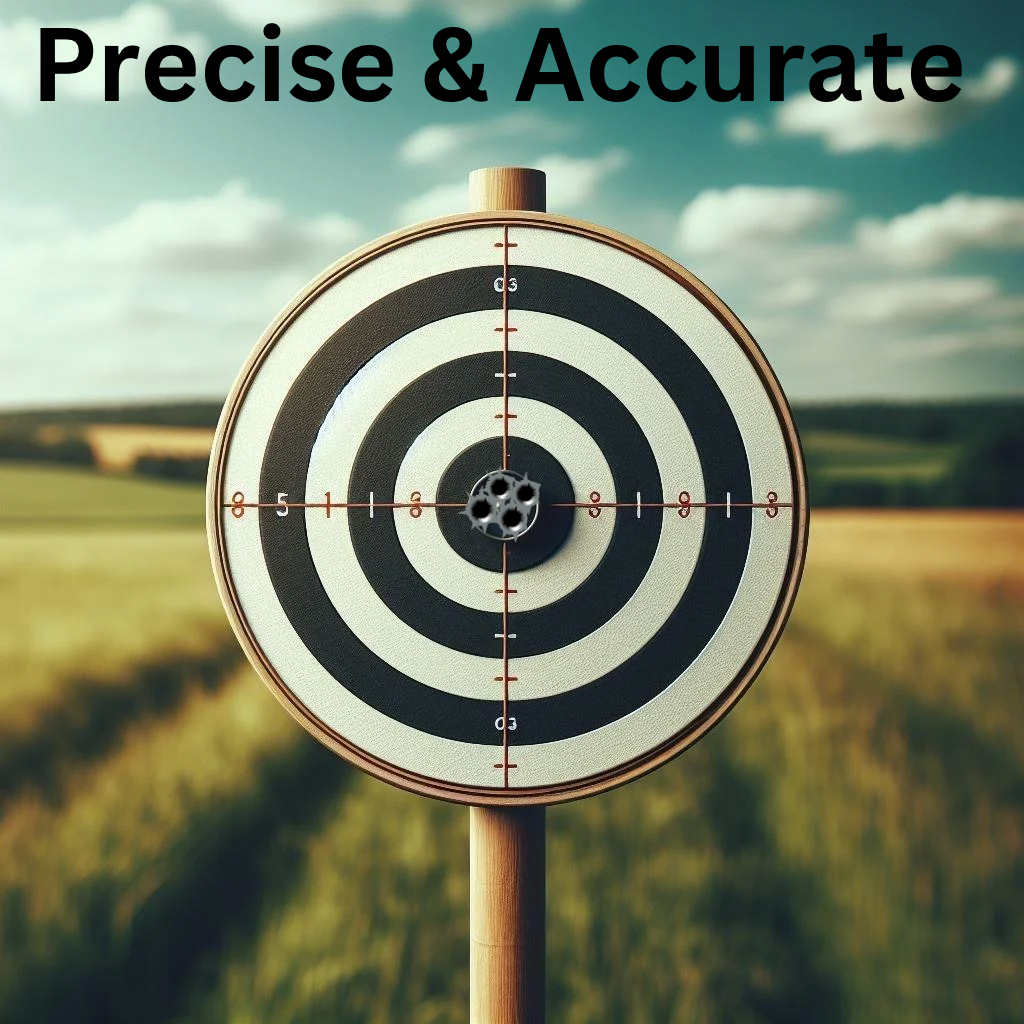
2. Shots Close Together at the Center (Precision with Accuracy):
Now picture a cluster of shots all hitting the bullseye. This represents the ideal scenario where the measurements are both precise and accurate. The shots are not only close to each other but also to the true value—the center of the target. In land surveying, this would mean that repeated measurements not only agree with each other but also align with the true position of points on the ground.
Technological Advances in Surveying
With advancements in technology, achieving high precision and accuracy has become more attainable. Modern equipment like GPS, laser scanners, and drones provide surveyors with tools that can measure with incredible detail and consistency. Software solutions also play a role in processing data to ensure that the final results meet the stringent standards required for legal and construction purposes.
In conclusion, while precision and accuracy are both critical to land surveying, they serve different purposes. Accuracy ensures that survey data truly represents the real world, while precision ensures that measurements are consistent and reliable. A skilled surveyor aims for the bullseye, knowing that both precision and accuracy are necessary to provide the highest quality of work in their surveys. Understanding and applying these concepts correctly can make the difference between a successful project and one fraught with legal challenges and issues. As technology continues to evolve, surveyors must remain vigilant and educated on best practices to maintain the balance between precision and accuracy in their measurements.


